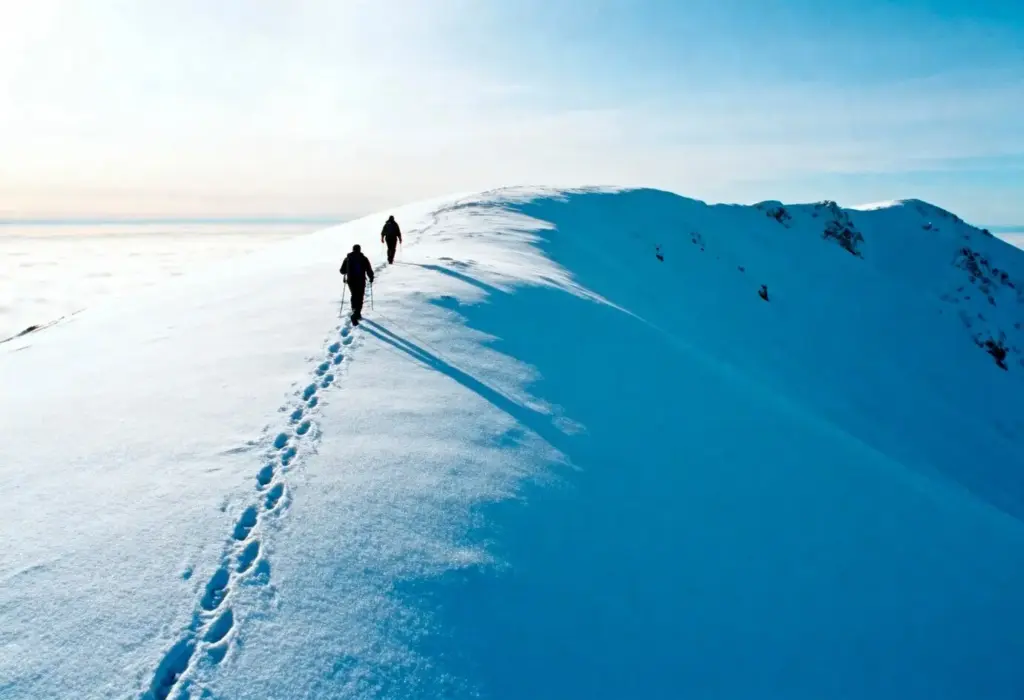
Navigate the Mountains by Map, Compass, and Sky

Step into a quieter, more attentive wayfinding practice, embracing screen‑free navigation in the mountains through paper maps, reliable compass skills, and time‑tested weather lore. We’ll help you read terrain like a story, trust bearings, interpret clouds, and move decisively, safely, and joyfully.

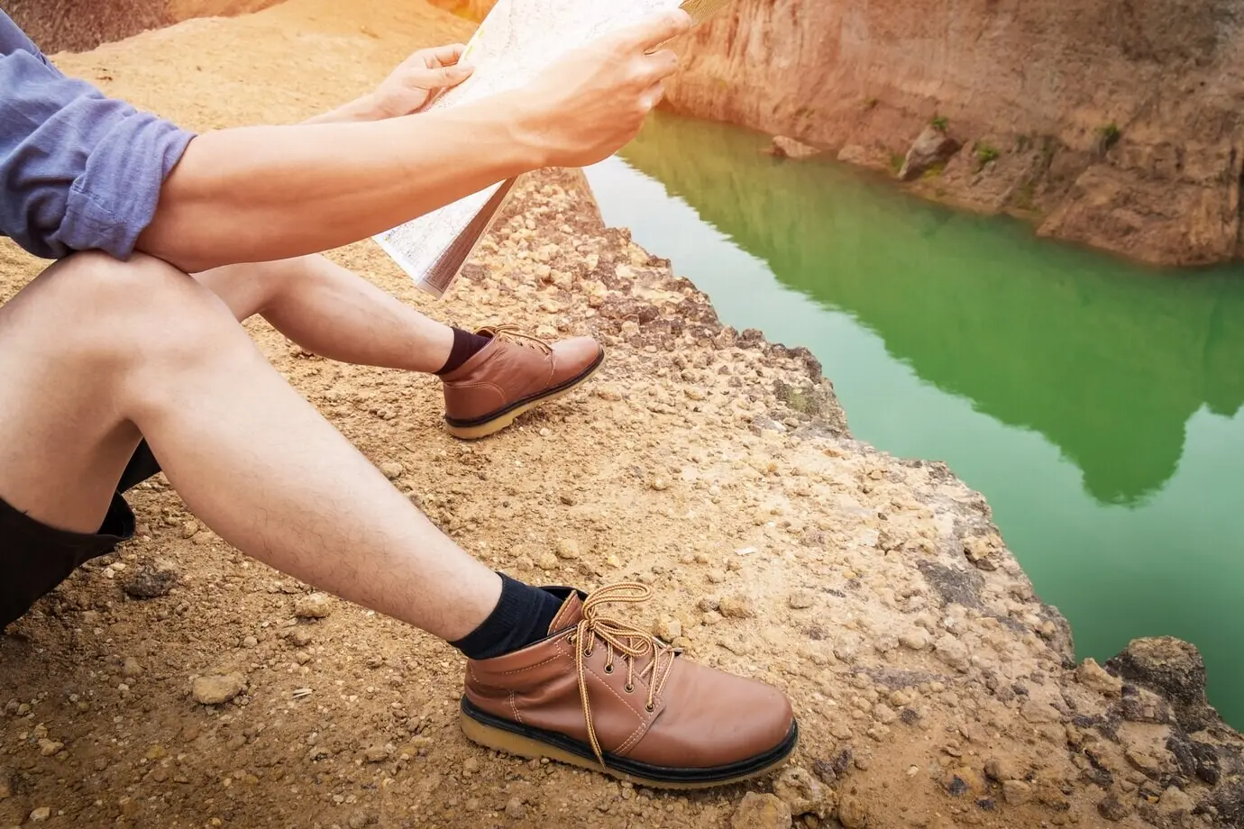
Reading the Land Through Paper Maps

Topographic sheets reveal ridgelines, gullies, saddles, and slope angles without a single pixel. Learn to decode contour intervals, recognize spurs and reentrants, align map to ground, and build mental models that persist in fog, wind, or darkness, guiding every patient step and confident decision.

Trust the Needle: Practical Compass Mastery

A simple baseplate compass becomes a quiet partner when visibility collapses. Learn to set declination, shoot and follow bearings, aim off deliberately, and confirm progress with backstops. Small, consistent techniques stack into reliability, turning uncertainty into a sequence of calm, verifiable steps.

Declination Without Confusion

Magnetic north rarely matches true north, and the difference shifts across regions and time. Practice setting local declination until it feels automatic, verify annually, and teach your partners. This tiny ritual prevents large errors, especially during fatigue, storms, or night navigation along complex spines.

Bearings You Can Trust

Learn to take precise bearings from map to ground and ground to map, then follow them with pacing, timing, and purposeful drift. Keep the housing readable, sight carefully, and guard against magnetic interference. Repeatable habits produce repeatable results when the mountain demands certainty.

Backbearings and Triangulation

When doubts creep in, turn around. A quick backbearing to a known feature, or a triangulation from two distinct points, collapses ambiguity fast. Practice in clear weather first, so the motions become muscle memory before cloud edges blur landmarks and confidence.

Reading the Sky: Mountain Weather Lore That Works

Generations of travelers learned to watch the sky, wind, and moisture, translating patterns into timely choices. While instruments help, your senses remain powerful. Recognize cloud evolution, pressure cues, and orographic effects, then adjust routes, camps, or start times to harvest safer, smoother days.

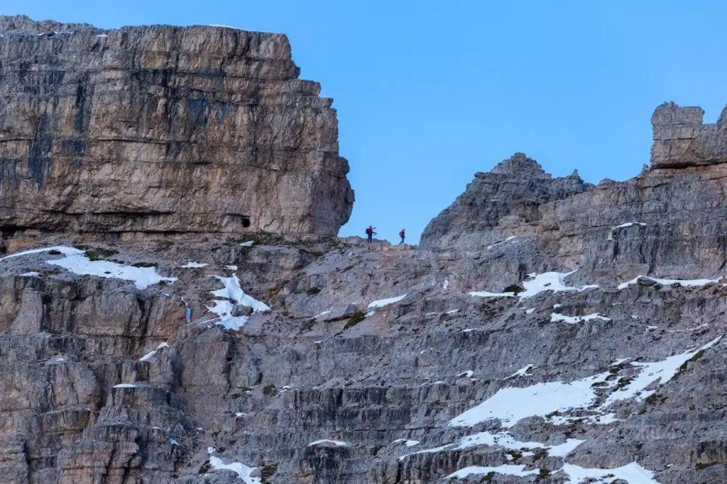
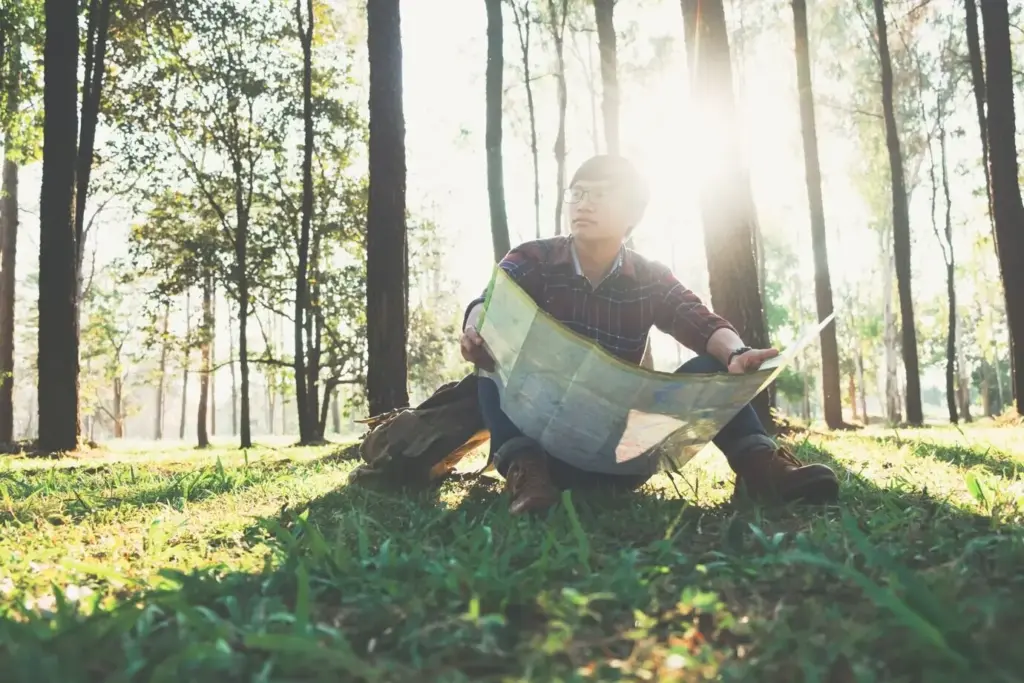
Analog Route Planning and On‑Trail Decisions

Thoughtful preparation turns paper and practice into momentum. Build route cards, estimate time with Naismith’s rule and adjustments, and preselect checkpoints. On trail, temper ambition with conditions, remember turnaround times, and keep energy reserves. Decisions made early prevent dilemmas later, protecting companions and goals.
Write legs with bearings, distances, elevation gain, checkpoints, escape routes, and timings. Add notes on water, shade, avalanche aspects, and wildlife considerations. Share copies among partners. When stress rises, the card offers clarity, pacing guidance, and a shared plan everyone can calmly follow.
Naismith provides a baseline, but terrain texture, pack weight, heat, snow, and group size skew the clock. Track your own moving averages, include rest buffers, and set alarms for decision points. Realistic estimates enable graceful adjustments rather than desperate scrambles near dark.
Choose linear features like ridges, fences, rivers, or valleys to guide progress, then identify backstops that prevent overshooting. Mark unmistakable catching features for confidence boosts. These analog safeguards reduce cognitive load, freeing attention for companionship, weather observation, and the pure joy of moving well.

Staying Found: Safety Habits and Emergency Readiness

Good navigation is mostly prevention. Adopt simple habits: frequent position checks, mutual briefings, conservative choices near thresholds, and deliberate hydration and fueling. If something slips, apply relocation methods calmly, communicate early, and protect warmth. Preparedness transforms surprises into solvable problems rather than compounding crises.

Relocation Without Panic

Stop, think, observe, and plan before moving. Rebuild position from last certainty using elapsed time, contour clues, aspect, and handrail relationships. Use backbearings and attack points to reenter precision. Calm structure shrinks fear, restoring judgment and cooperation when nerves fray around you.

Signals, Paperwork, and Redundancy

A whistle’s three blasts carry farther than many shouts, while a signal mirror or bright bivy bag can reach distant teams. Keep emergency contacts written, route left with a friend, and spare map pages sealed. Redundancy is kindness to your future self and partners.

Protecting the Tools You Depend On

Store maps in waterproof cases, attach the compass with a lanyard, and keep a soft pencil for wet notes. Laminate or reinforce frequently folded edges. Treat analog gear with respect and it will repay you with clarity when batteries and signals disappear.

Lessons From the Trail: Stories of Paper and Needle

Experience shapes judgment. These short mountain snapshots reveal how simple tools and attentive habits avert big problems. Let them inspire your own practice, and consider sharing your stories with us, because passing knowledge forward strengthens everyone who travels beneath changing skies among shifting ridgelines.

A Bearing, A Backstop, A Breath

In low cloud on a featureless plateau, we aimed off to a stream, took a conservative bearing, and paced patiently. The unmistakable roar confirmed position. A short climb to the backstop ridge followed, and anxiety melted into renewed focus and steady companionship.

Clouds That Changed the Plan

Morning lenticulars stacked like coins above the pass, signaling fierce winds despite a cheerful forecast. We rerouted into sheltered forests, trading views for safety. Later, toppled trees and scoured drifts proved the call wise, and the group finished tired, grateful, and unshaken.

Practice Drills and Community Challenges

Skill grows with repetition and playful testing. Try these drills, invite friends, and share results. Post your maps, reflections, and weather notes, subscribe for deeper guides, and send questions. Together we’ll build a resilient, generous practice that keeps real mountains safer and more joyous.
Valekifekorapifera
Privacy Overview

This website uses cookies so that we can provide you with the best user experience possible. Cookie information is stored in your browser and performs functions such as recognising you when you return to our website and helping our team to understand which sections of the website you find most interesting and useful.